
Sürth topographic map
Interactive map
Click on the map to display elevation.
About this map
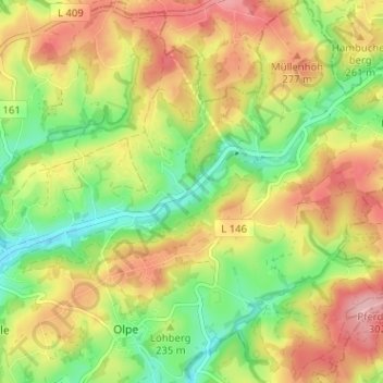
Name: Sürth topographic map, elevation, terrain.
Average elevation: 781 ft
Minimum elevation: 558 ft
Maximum elevation: 1,017 ft
Der Ort liegt an der Wipperfürther Straße östlich von Broch. Unmittelbar nördlich grenzt auf einer kleinen Anhöhe der mittelalterliche Ringwall Burgring an.