
女儿田 topographic map
Interactive map
Click on the map to display elevation.
About this map
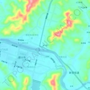
Name: 女儿田 topographic map, elevation, terrain.
Location: 女儿田, 德兴市, 上饶市, 江西省, 中国 (28.91779 117.58089 28.95779 117.62089)
Average elevation: 269 ft
Minimum elevation: 138 ft
Maximum elevation: 728 ft