
Spirit topographic map
Interactive map
Click on the map to display elevation.
About this map
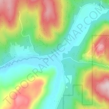
Name: Spirit topographic map, elevation, terrain.
Location: Spirit, Stevens County, Washington, États-Unis d'Amérique (48.80963 -117.67053 48.84963 -117.63053)
Average elevation: 2,398 ft
Minimum elevation: 1,900 ft
Maximum elevation: 3,304 ft