
Río Tarqui topographic map
Interactive map
Click on the map to display elevation.
About this map
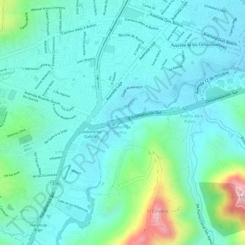
Name: Río Tarqui topographic map, elevation, terrain.
Location: Río Tarqui, Turi, Cuenca, Azuay, 010206, Ecuador (-2.92789 -79.03900 -2.92123 -79.03054)
Average elevation: 8,553 ft
Minimum elevation: 8,346 ft
Maximum elevation: 9,314 ft
Other topographic maps
Click on a map to view its topography, its elevation and its terrain.