
凉水朝鲜族乡 topographic map
Interactive map
Click on the map to display elevation.
About this map
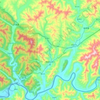
Name: 凉水朝鲜族乡 topographic map, elevation, terrain.
Location: 凉水朝鲜族乡, 集安市, 通化市, 吉林省, 中国 (40.86183 125.67617 41.04149 125.89416)
Average elevation: 1,017 ft
Minimum elevation: 318 ft
Maximum elevation: 2,513 ft
Other topographic maps
Click on a map to view its topography, its elevation and its terrain.