
Unterlind topographic map
Interactive map
Click on the map to display elevation.
About this map
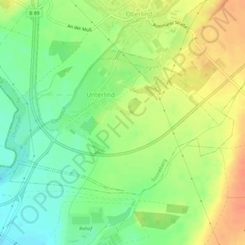
Name: Unterlind topographic map, elevation, terrain.
Average elevation: 1,178 ft
Minimum elevation: 1,106 ft
Maximum elevation: 1,253 ft
Other topographic maps
Click on a map to view its topography, its elevation and its terrain.
Wehd
Deutschland > Thüringen > Sonneberg > Wehd
Wehd, Sonneberg, Landkreis Sonneberg, Thüringen, 96515, Deutschland
Average elevation: 1,526 ft