
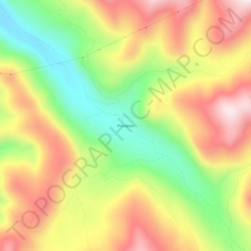
Princeton topographic map
Interactive map
Click on the map to display elevation.
About this map
Name: Princeton topographic map, elevation, terrain.
Location: Princeton, Granite County, Montana, USA (46.39687 -113.18561 46.43687 -113.14561)
Average elevation: 6,125 ft
Minimum elevation: 5,138 ft
Maximum elevation: 7,093 ft