
บ้านสัานปูเลย topographic map
Interactive map
Click on the map to display elevation.
About this map
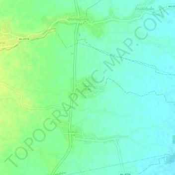
Name: บ้านสัานปูเลย topographic map, elevation, terrain.
Location: บ้านสัานปูเลย, อำเภอเมืองพะเยา, Phayao, Thailand (19.18620 99.83592 19.18970 99.84206)
Average elevation: 1,312 ft
Minimum elevation: 1,283 ft
Maximum elevation: 1,345 ft