
Maguga Dam topographic map
Interactive map
Click on the map to display elevation.
About this map
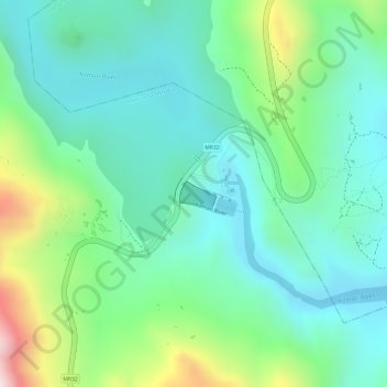
Name: Maguga Dam topographic map, elevation, terrain.
Location: Maguga Dam, Inkhundla Nkhaba, Hhohho, Eswatini (-26.08034 31.25769 -26.07831 31.26076)
Average elevation: 2,123 ft
Minimum elevation: 1,690 ft
Maximum elevation: 3,189 ft
Other topographic maps
Click on a map to view its topography, its elevation and its terrain.