
龙浦洞 topographic map
Interactive map
Click on the map to display elevation.
About this map
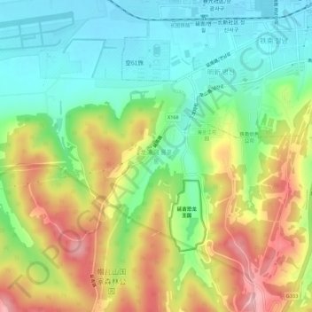
Name: 龙浦洞 topographic map, elevation, terrain.
Location: 龙浦洞, 小营镇, 延吉市, 延边朝鲜族自治州, 吉林省, 133099, 中国 (42.84634 129.46152 42.88634 129.50152)
Average elevation: 801 ft
Minimum elevation: 581 ft
Maximum elevation: 1,125 ft
Other topographic maps
Click on a map to view its topography, its elevation and its terrain.