
Burnham Rocks topographic map
Interactive map
Click on the map to display elevation.
About this map
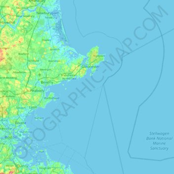
Name: Burnham Rocks topographic map, elevation, terrain.
Location: Burnham Rocks, Gloucester, Essex County, Massachusetts, USA (42.21954 -70.99893 42.85954 -70.35893)
Average elevation: 23 ft
Minimum elevation: -16 ft
Maximum elevation: 499 ft