
Chauncey topographic map
Interactive map
Click on the map to display elevation.
About this map
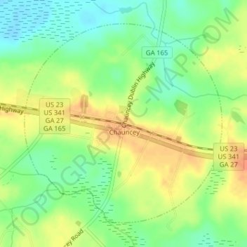
Name: Chauncey topographic map, elevation, terrain.
Location: Chauncey, Dodge County, Georgia, United States (32.09468 -83.07752 32.11647 -83.05197)
Average elevation: 253 ft
Minimum elevation: 187 ft
Maximum elevation: 318 ft