
Langsa topographic map
Interactive map
Click on the map to display elevation.
About this map
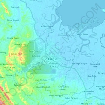
Name: Langsa topographic map, elevation, terrain.
Location: Langsa, Aceh, 24412, Indonesia (4.40653 97.89754 4.56276 98.08372)
Average elevation: 62 ft
Minimum elevation: -13 ft
Maximum elevation: 673 ft