
Khemissa topographic map
Interactive map
Click on the map to display elevation.
About this map
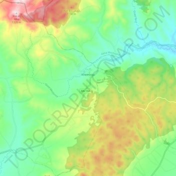
Name: Khemissa topographic map, elevation, terrain.
Location: Khemissa, Sedrata District, Souk Ahras, Algeria (36.14158 7.57296 36.23382 7.66974)
Average elevation: 3,136 ft
Minimum elevation: 2,507 ft
Maximum elevation: 4,285 ft