
Samrad topographic map
Click on the map to display elevation.
About this map
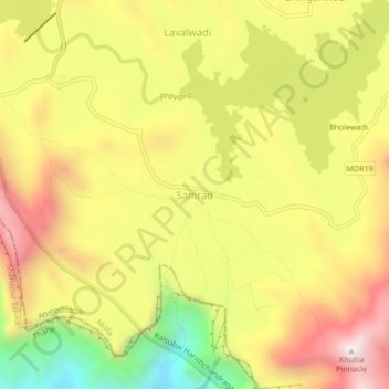
Name: Samrad topographic map, elevation, terrain.
Location: Samrad, Akola, Ahmednagar District, Maharashtra, India (19.50581 73.66286 19.54581 73.70286)
Average elevation: 2,480 ft
Minimum elevation: 968 ft
Maximum elevation: 3,773 ft
Other topographic maps
Click on a map to view its topography, its elevation and its terrain.