
象州县 topographic map
Interactive map
Click on the map to display elevation.
About this map
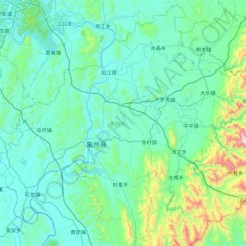
Name: 象州县 topographic map, elevation, terrain.
Location: 象州县, 来宾市, 广西壮族自治区, 中国 (23.73165 109.42353 24.30437 110.07456)
Average elevation: 807 ft
Minimum elevation: 131 ft
Maximum elevation: 5,797 ft
Other topographic maps
Click on a map to view its topography, its elevation and its terrain.