Geolocate

Malugay topographic map

Click on the map to display elevation.

About this map

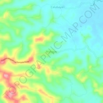
Name: Malugay topographic map, elevation, terrain.

Location: Malugay, Oriental Mindoro, Mimaropa, Philippines (13.01110 121.34103 13.05110 121.38103)

Average elevation: 174 ft

Minimum elevation: 43 ft

Maximum elevation: 472 ft

Gear up for your next adventure:

🚑Emergency Bivvies - Heat-reflective sleeping bags for survival situations
🪶Paracord Bracelet - Survival bracelet with built‑in tools
🌎3D Topographic Globes - Raised relief globes for a tactile understanding of geography
🧢Outdoor Hiking Hat - Sun protection hat for outdoor explorers
🦟Ultrasonic Repellers - Create a bug-free zone at your camp or rest stop

As an Amazon Associate, this site earns from qualifying purchases at no extra cost to you.