
东沙河 topographic map
Interactive map
Click on the map to display elevation.
About this map
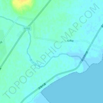
Name: 东沙河 topographic map, elevation, terrain.
Location: 东沙河, 兴城市, 葫芦岛市, 辽宁省, 中国 (40.47061 120.58043 40.48904 120.61241)
Average elevation: 13 ft
Minimum elevation: -3 ft
Maximum elevation: 72 ft
Other topographic maps
Click on a map to view its topography, its elevation and its terrain.