
Távora topographic map
Interactive map
Click on the map to display elevation.
About this map
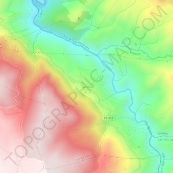
Name: Távora topographic map, elevation, terrain.
Location: Távora, Tabuaço, Viseu, 5120-447, Portugal (41.07993 -7.55344 41.11993 -7.51344)
Average elevation: 1,657 ft
Minimum elevation: 374 ft
Maximum elevation: 2,943 ft
Other topographic maps
Click on a map to view its topography, its elevation and its terrain.
Vale de Figueira
Vale de Figueira, Pinheiros e Vale de Figueiras, Tabuaço, Viseu, Portugal
Average elevation: 2,618 ft