
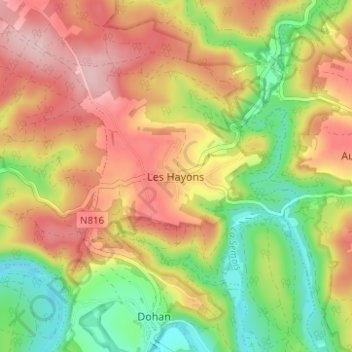
Les Hayons topographic map
Interactive map
Click on the map to display elevation.
About this map
Name: Les Hayons topographic map, elevation, terrain.
Location: Les Hayons, Bouillon, Luxembourg, Wallonie, B-6856, Belgique (49.79334 5.12566 49.83334 5.16566)
Average elevation: 1,066 ft
Minimum elevation: 722 ft
Maximum elevation: 1,401 ft