
Oostzaan topographic map
Interactive map
Click on the map to display elevation.
About this map
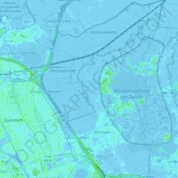
Name: Oostzaan topographic map, elevation, terrain.
Location: Oostzaan, North Holland, Netherlands, The Netherlands (52.42446 4.84295 52.47983 4.90647)
Average elevation: 0 ft
Minimum elevation: -23 ft
Maximum elevation: 23 ft