
Rolleston topographic map
Interactive map
Click on the map to display elevation.
About this map
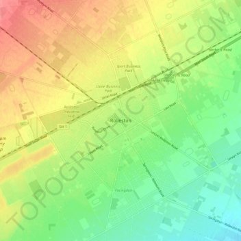
Name: Rolleston topographic map, elevation, terrain.
Location: Rolleston, Selwyn District, Canterbury, 7614, New Zealand (-43.63665 172.34500 -43.55665 172.42500)
Average elevation: 177 ft
Minimum elevation: 72 ft
Maximum elevation: 299 ft