
Bøverdalen topographic map
Interactive map
Click on the map to display elevation.
About this map
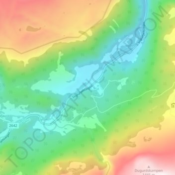
Name: Bøverdalen topographic map, elevation, terrain.
Location: Bøverdalen, Lom, Innlandet, Norway (61.70136 8.33009 61.74136 8.37009)
Average elevation: 2,854 ft
Minimum elevation: 1,726 ft
Maximum elevation: 4,888 ft