
Raleigh Heights topographic map
Interactive map
Click on the map to display elevation.
About this map
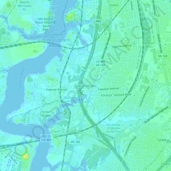
Name: Raleigh Heights topographic map, elevation, terrain.
Location: Raleigh Heights, Chesapeake, Virginia, 23324, United States (36.76737 -76.30355 36.80737 -76.26355)
Average elevation: 16 ft
Minimum elevation: -3 ft
Maximum elevation: 72 ft