L'Alp topographic map
Interactive map
Click on the map to display elevation.
About this map
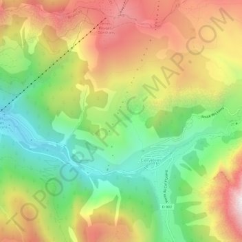
Name: L'Alp topographic map, elevation, terrain.
Average elevation: 6,496 ft
Minimum elevation: 4,777 ft
Maximum elevation: 8,553 ft

Click on the map to display elevation.
Name: L'Alp topographic map, elevation, terrain.
Average elevation: 6,496 ft
Minimum elevation: 4,777 ft
Maximum elevation: 8,553 ft