
Midden-Groningen topographic map
Interactive map
Click on the map to display elevation.
About this map
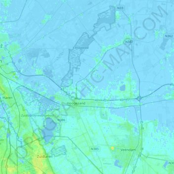
Name: Midden-Groningen topographic map, elevation, terrain.
Location: Midden-Groningen, Groningen, Nederland (53.07097 6.63947 53.29835 6.96586)
Average elevation: 3 ft
Minimum elevation: -26 ft
Maximum elevation: 56 ft