
Santigo topographic map
Interactive map
Click on the map to display elevation.
About this map
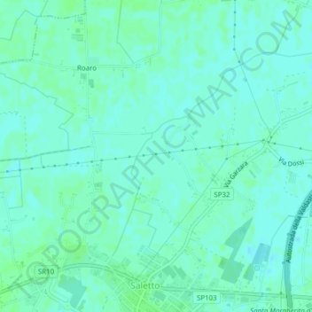
Name: Santigo topographic map, elevation, terrain.
Location: Santigo, Borgo Veneto, Padova, Veneto, 35046, Italy (45.22822 11.52503 45.24822 11.54503)
Average elevation: 39 ft
Minimum elevation: 30 ft
Maximum elevation: 49 ft