
Loran topographic map
Interactive map
Click on the map to display elevation.
About this map
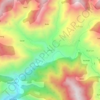
Name: Loran topographic map, elevation, terrain.
Location: Loran, Mandi, Punch, Jammu and Kashmir, India (33.81310 74.30615 33.85310 74.34615)
Average elevation: 6,998 ft
Minimum elevation: 5,289 ft
Maximum elevation: 8,691 ft