
Thank you for supporting this site ❤️
Make a donation
Make a donation
Gear up for your next adventure:
As an Amazon Associate, this site earns from qualifying purchases at no extra cost to you.
Bourg topographic map
Click on the map to display elevation.
Thank you for supporting this site ❤️
Make a donation
Make a donation
Gear up for your next adventure:
As an Amazon Associate, this site earns from qualifying purchases at no extra cost to you.
About this map
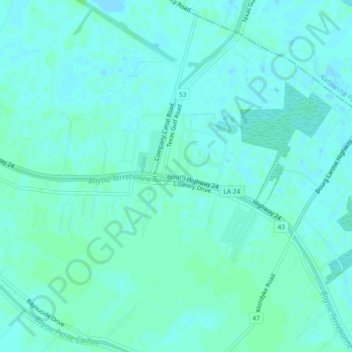
Name: Bourg topographic map, elevation, terrain.
Location: Bourg, Terrebonne Parish, Louisiana, 70343, United States (29.53355 -90.62231 29.57355 -90.58231)
Average elevation: 10 ft
Minimum elevation: -3 ft
Maximum elevation: 23 ft
Terrebonne Parish trails, hiking, mountain biking, running and outdoor activities
Thank you for supporting this site ❤️
Make a donation
Make a donation
Gear up for your next adventure:
As an Amazon Associate, this site earns from qualifying purchases at no extra cost to you.