
亚丁村 topographic map
Interactive map
Click on the map to display elevation.
About this map
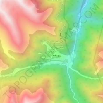
Name: 亚丁村 topographic map, elevation, terrain.
Location: 亚丁村, Dabba, 甘孜藏族自治州, Sichuan, China (28.43777 100.31882 28.47777 100.35882)
Average elevation: 13,737 ft
Minimum elevation: 11,621 ft
Maximum elevation: 15,850 ft