
St. Adelheid-Brunnen topographic map
Interactive map
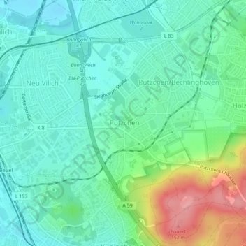
Click on the map to display elevation.
About this map
Name: St. Adelheid-Brunnen topographic map, elevation, terrain.
Average elevation: 253 ft
Minimum elevation: 157 ft
Maximum elevation: 509 ft
Other topographic maps
Click on a map to view its topography, its elevation and its terrain.
Lengsdorf
Duitsland > Noordrijn-Westfalen > Bonn
Lengsdorf, Hardtberg, Bonn, Noordrijn-Westfalen, 53127, Duitsland
Average elevation: 377 ft
Kessenich
Duitsland > Noordrijn-Westfalen > Bonn
Kessenich, Stadtbezirk Bonn, Bonn, Noordrijn-Westfalen, 53129, Duitsland
Average elevation: 276 ft
Bonn
Duitsland > Noordrijn-Westfalen > Bonn
Bonn, Noordrijn-Westfalen, 53111, Duitsland
Average elevation: 453 ft