
Lugknitz topographic map
Interactive map
Click on the map to display elevation.
About this map
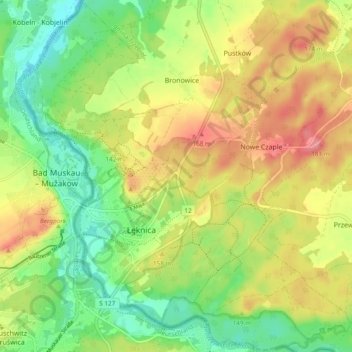
Name: Lugknitz topographic map, elevation, terrain.
Location: Lugknitz, powiat żarski, Woiwodschaft Lebus, 68-208, Polen (51.51766 14.71133 51.57694 14.80125)
Average elevation: 436 ft
Minimum elevation: 312 ft
Maximum elevation: 577 ft