
Gashaka topographic map
Interactive map
Click on the map to display elevation.
About this map
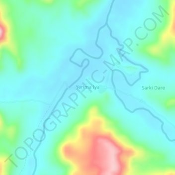
Name: Gashaka topographic map, elevation, terrain.
Location: Gashaka, Taraba, Nigeria (7.34641 11.46487 7.38641 11.50487)
Average elevation: 1,224 ft
Minimum elevation: 1,060 ft
Maximum elevation: 1,798 ft