
Choapa topographic map
Interactive map
Click on the map to display elevation.
About this map
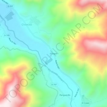
Name: Choapa topographic map, elevation, terrain.
Location: Choapa, Provincia de Limarí, Región de Coquimbo, Chile (-30.78385 -70.85193 -30.74385 -70.81193)
Average elevation: 2,654 ft
Minimum elevation: 1,699 ft
Maximum elevation: 4,426 ft