
Dzulukhi topographic map
Interactive map
Click on the map to display elevation.
About this map
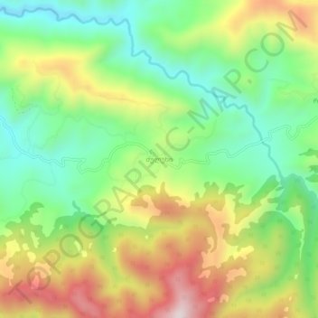
Name: Dzulukhi topographic map, elevation, terrain.
Location: Dzulukhi, Vani Municipality, Imereti, Georgia (42.00696 42.59359 42.04696 42.63359)
Average elevation: 1,388 ft
Minimum elevation: 561 ft
Maximum elevation: 2,585 ft