
Bateman Bay topographic map
Interactive map
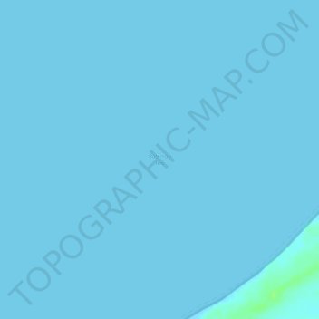
Click on the map to display elevation.
About this map
Name: Bateman Bay topographic map, elevation, terrain.
Average elevation: 0 ft
Minimum elevation: 0 ft
Maximum elevation: 33 ft
Other topographic maps
Click on a map to view its topography, its elevation and its terrain.
Coral Bay
Australia > Western Australia > Coral Bay
Coral Bay, Western Australia, Australia
Average elevation: 23 ft