
Monte Ariola topographic map
Interactive map
Click on the map to display elevation.
About this map
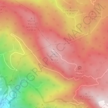
Name: Monte Ariola topographic map, elevation, terrain.
Location: Monte Ariola, San Potito Sannitico, CE, CAM, 81016, Italia (41.35915 14.41769 41.35925 14.41779)
Average elevation: 2,923 ft
Minimum elevation: 1,135 ft
Maximum elevation: 3,894 ft