
Old Man topographic map
Interactive map
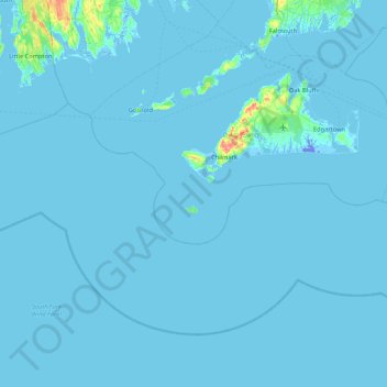
Click on the map to display elevation.
About this map
Name: Old Man topographic map, elevation, terrain.
Location: Old Man, Chilmark, Dukes County, Massachusetts, USA (40.96206 -71.13225 41.60206 -70.49225)
Average elevation: 7 ft
Minimum elevation: -69 ft
Maximum elevation: 276 ft