
Rajouri topographic map
Interactive map
Click on the map to display elevation.
About this map
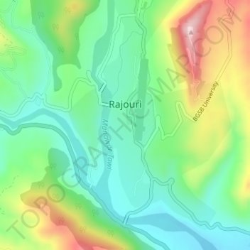
Name: Rajouri topographic map, elevation, terrain.
Location: Rajouri, Rajauri, Jammu and Kashmir, India (33.36350 74.30579 33.38618 74.32413)
Average elevation: 3,159 ft
Minimum elevation: 2,835 ft
Maximum elevation: 3,786 ft