
Los Cantones topographic map
Interactive map
Click on the map to display elevation.
About this map
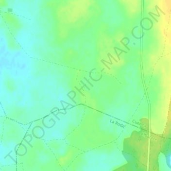
Name: Los Cantones topographic map, elevation, terrain.
Location: Los Cantones, Pozoamargo, Cuenca, Castilla-La Mancha, España (39.27401 -2.17779 39.29401 -2.15779)
Average elevation: 2,425 ft
Minimum elevation: 2,392 ft
Maximum elevation: 2,464 ft