
Löben topographic map
Interactive map
Click on the map to display elevation.
About this map
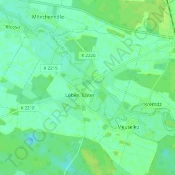
Name: Löben topographic map, elevation, terrain.
Location: Löben, Annaburg, Wittenberg, Saksen-Anhalt, Duitsland (51.75283 13.03287 51.78103 13.10109)
Average elevation: 253 ft
Minimum elevation: 236 ft
Maximum elevation: 269 ft