
Casa Branca topographic map
Interactive map
Click on the map to display elevation.
About this map
Name: Casa Branca topographic map, elevation, terrain.
Average elevation: 69 ft
Minimum elevation: -7 ft
Maximum elevation: 174 ft
Other topographic maps
Click on a map to view its topography, its elevation and its terrain.
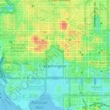
Ward 2
Estados Unidos da América > District of Columbia > Washington, D.C.
Ward 2, Washington, D.C., District of Columbia, Estados Unidos da América
Average elevation: 75 ft