
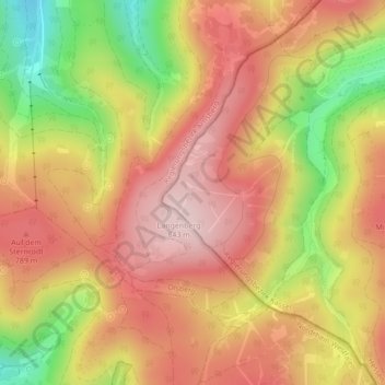
Rothaargebirge topographic map
Interactive map
Click on the map to display elevation.
About this map
Name: Rothaargebirge topographic map, elevation, terrain.
Average elevation: 2,385 ft
Minimum elevation: 1,808 ft
Maximum elevation: 2,762 ft
Other topographic maps
Click on a map to view its topography, its elevation and its terrain.
Stryck
Duitsland > Hessen > Landkreis Waldeck-Frankenberg > Willingen
Stryck, Willingen, Willingen (Upland), Landkreis Waldeck-Frankenberg, Hessen, 34508, Duitsland
Average elevation: 2,211 ft