
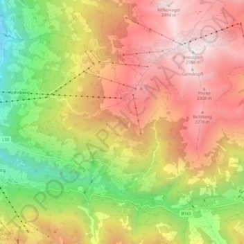
Gemeinde Gerlosberg topographic map
Interactive map
Click on the map to display elevation.
About this map
Name: Gemeinde Gerlosberg topographic map, elevation, terrain.
Location: Gemeinde Gerlosberg, Bezirk Schwaz, Tirol, Österreich (47.21003 11.88757 47.25373 11.98730)
Average elevation: 5,240 ft
Minimum elevation: 1,864 ft
Maximum elevation: 8,350 ft