
Traveston topographic map
Interactive map
Click on the map to display elevation.
About this map
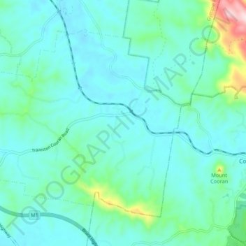
Name: Traveston topographic map, elevation, terrain.
Location: Traveston, Gympie Regional, Queensland, Australia (-26.35139 152.72063 -26.29527 152.80259)
Average elevation: 364 ft
Minimum elevation: 187 ft
Maximum elevation: 1,306 ft
Other topographic maps
Click on a map to view its topography, its elevation and its terrain.
Traveston
Australia > Queensland > Traveston
Traveston, Queensland, Australia
Average elevation: 292 ft