Geolocate

Nalut topographic map

Click on the map to display elevation.

About this map

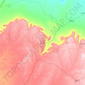
Name: Nalut topographic map, elevation, terrain.

Location: Nalut, Libya (31.70379 10.82279 32.02379 11.14279)

Average elevation: 1,585 ft

Minimum elevation: 633 ft

Maximum elevation: 2,365 ft

Gear up for your next adventure:

🔦Powerful Headlamps - Ultra-bright hands-free lighting for night navigation
🌎3D Topographic Globes - Raised relief globes for a tactile understanding of geography
💧Water Purification System - Clean water on the trail with reliable purifiers
🌐World Map Poster - Decorative world maps with topographic info
🪶Compact Camp Shovel - Folding shovel for campsite tasks

As an Amazon Associate, this site earns from qualifying purchases at no extra cost to you.