
Refuge de Manganu topographic map
Interactive map
Click on the map to display elevation.
About this map
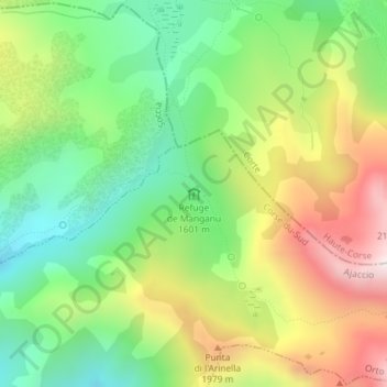
Name: Refuge de Manganu topographic map, elevation, terrain.
Average elevation: 5,679 ft
Minimum elevation: 4,528 ft
Maximum elevation: 7,313 ft
Other topographic maps
Click on a map to view its topography, its elevation and its terrain.
Orto
France > Corse > Corse-du-Sud > Orto
Orto, Ajaccio, Corse-du-Sud, Corse, France métropolitaine, 20125, France
Average elevation: 3,465 ft