
Maumelle topographic map
Interactive map
Click on the map to display elevation.
About this map
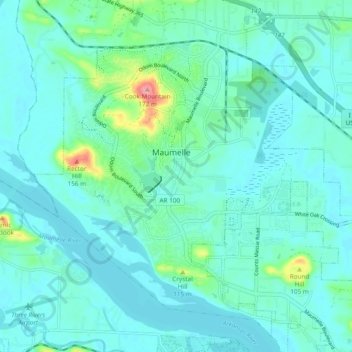
Name: Maumelle topographic map, elevation, terrain.
Location: Maumelle, Pulaski County, Arkansas, 72113, United States (34.81571 -92.44281 34.88690 -92.34761)
Average elevation: 285 ft
Minimum elevation: 233 ft
Maximum elevation: 561 ft