Geolocate

McCook topographic map

Click on the map to display elevation.

About this map

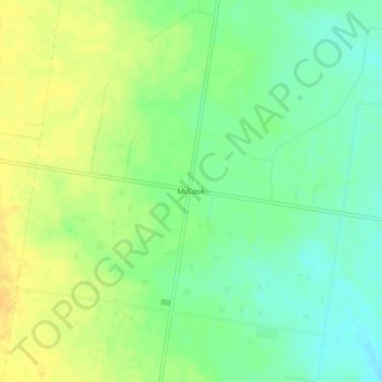
Name: McCook topographic map, elevation, terrain.

Location: McCook, Hidalgo County, Texas, United States (26.46368 -98.41085 26.50368 -98.37085)

Average elevation: 315 ft

Minimum elevation: 269 ft

Maximum elevation: 358 ft

Texas trails, hiking, mountain biking, running and outdoor activities

Gear up for your next adventure:

Solar GPS Watches - Advanced multisport watches with built-in topographic maps
🛰️Handheld GPS Units - Professional satellite navigators for precise backcountry mapping
🔌USB Car Charger - Car charger for on‑the‑go power needs
📖Nature Tracking Books - Learn to track wildlife and terrain
🗺️Topographic Maps - Detailed topo maps for hiking, exploring and outdoor navigation

As an Amazon Associate, this site earns from qualifying purchases at no extra cost to you.