
Limbach topographic map
Interactive map
Click on the map to display elevation.
About this map
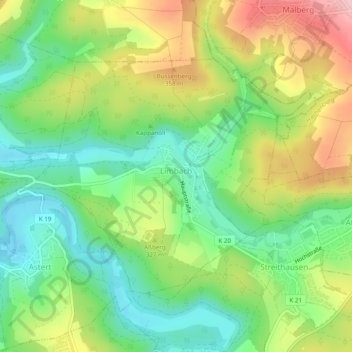
Name: Limbach topographic map, elevation, terrain.
Location: Limbach, Hachenburg, Westerwaldkreis, Rijnland-Palts, Duitsland (50.69044 7.77006 50.71098 7.81865)
Average elevation: 968 ft
Minimum elevation: 712 ft
Maximum elevation: 1,355 ft